
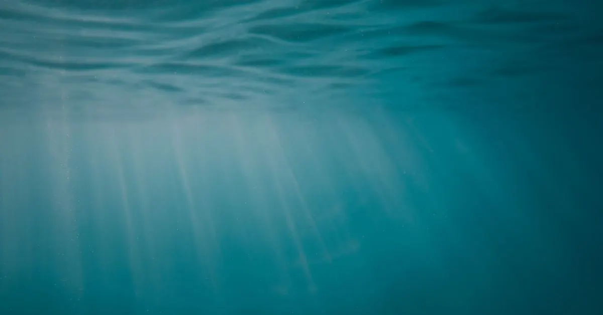
Less than 0.001 percent. That is how much of the deep seafloor humans have actually seen with cameras and submersibles, a patch NOAA reckons is about the size of Rhode Island. Out of an ocean that covers most of the planet, we have set eyes on a sliver smaller than a single small state. And yet, in a different sense, the whole seafloor is already mapped. Both of those are true at the same time, which is what makes the real answer to how much of the ocean we have explored so much stranger than the tidy statistic everyone repeats.
We've mapped most of the ocean but seen almost none of it
The honest answer to how much of the ocean we've explored is that it splits into two very different numbers. The whole seafloor has been mapped at coarse resolution from satellites, so 100% of it is charted in a rough way. About 27% has been mapped in fine detail with ship-based sonar as of 2025 (Seabed 2030). But humans have directly observed, with cameras and submersibles, less than 0.001% of the deep seafloor, an area NOAA compares to the size of Rhode Island (NOAA Ocean Exploration). So the ocean isn't 5% known. It's almost entirely mapped and almost entirely unvisited, which is a much weirder situation.
Where the famous 5% number actually comes from
The 5% claim isn't invented out of nothing. It points at something real, then gets the meaning wrong. What's true is that only a small fraction of the seafloor has been studied in detail, up close, the way a geologist studies a rock or a biologist studies an ecosystem. What's false is the implied conclusion, that 95% of the ocean is a total blank we know nothing about.
Scientists who do this work find the framing frustrating. As oceanographer David Sandwell of Scripps put it, "one can say the seafloor is the most poorly charted area of the inner solar system," yet the entire thing is still mapped at some level (Skeptical Inquirer). The 5%, when people use it carefully, is roughly the share studied at high resolution. The trouble is that almost nobody uses it carefully. It gets flattened into "95% of the ocean is unknown," and that version is, in the words of the people who actually map the seafloor, a misleading oversimplification.
So the real question isn't how much we've explored. It's what counts as exploring at all.
Mapping is not the same as exploring
This is the distinction everything hinges on, and it's simpler than it sounds. Mapping means measuring the shape of the seafloor: how deep it is, where the ridges and trenches sit. Exploring means going there and observing it, the chemistry, the rocks, the animals, how it all behaves.
You can have a perfectly good map of a place you've never set foot in. That's the ocean. Two methods built the map, and they're worlds apart in detail.
The first is satellite altimetry. Satellites measure tiny bumps and dips in the height of the sea surface, because a big underwater mountain has enough gravity to pull water into a slight mound above it. Run that backward and you can infer the shape of the seafloor below. It works everywhere, which is how the whole ocean got mapped, but it's blurry. It only resolves features a few kilometers across.
The second is multibeam sonar, mounted on ships, which fans sound down to the bottom and times the echo to build a detailed picture. That's the high-resolution method, and it's the 27% number. It can pick out features down to roughly 200 meters across (Skeptical Inquirer), but a ship has to physically sail over every patch to collect it, which makes it slow and costly (Eos). The ocean is enormous, ships are slow, and ship time is expensive, which is why detailed coverage crawls upward a few percent a year.
The mapping is moving faster than you'd guess
The detailed map is filling in quickly, and the pace is the genuinely encouraging part of this story. In 2017, a global effort called the Nippon Foundation-GEBCO Seabed 2030 Project set out to chart the entire ocean floor in high resolution. When they started, only 6% of it was mapped to modern standards (Eos).
By June 2024 that figure had reached 26.1% (Seabed 2030, 2024). A year later, in June 2025, it hit 27.3%, with more than four million square kilometers of new seafloor added in a single year, an area about the size of the Indian subcontinent (Seabed 2030, 2025). NOAA's own tally put global high-resolution coverage at 28.7% by April 2026 (NOAA Ocean Exploration). The project's target is to capture every feature 100 meters or larger by 2030. Going from 6% to nearly 30% in under a decade is real momentum, even if hitting 100% by the deadline now looks optimistic.
Why the deep is so brutally hard to reach
Mapping the shape is one thing. Actually visiting the deep is another, and the reasons come down to physics. More than 90% of the ocean is deep ocean, meaning deeper than 200 meters (NOAA Ocean Exploration). Past that depth, three things turn hostile at once.
Sunlight runs out, so the bottom of the ocean is pitch black and you have to bring your own light. The temperature drops to a few degrees above freezing. And the pressure climbs relentlessly, by roughly one atmosphere for every 10 meters you descend. At the bottom of the Mariana Trench, nearly 11 kilometers down, a body would face more than a thousand times the pressure at the surface.
To go there at all you need a robot, a tethered camera, or a submersible with a hull thick enough to survive being squeezed like that. All three are slow and costly, and any single dive covers a postage stamp of seafloor. That's the bottleneck. There's no cheap way to wander the deep, so direct observation accumulates one expensive expedition at a time, which is exactly why that "less than 0.001%" figure stays so brutally small even as the maps fill in. It also explains why so much of the life down there, the glowing animals that make their own light, is still being discovered.
Two-thirds of ocean life has never been named
Here's the number that does the work the 5% myth was reaching for. Scientists estimate the ocean holds somewhere between 700,000 and one million species, and roughly two-thirds of them have never been formally described (NOAA Ocean Exploration). Researchers add close to 2,000 new ocean species to the scientific record every single year, and that pace shows no sign of slowing.
Think about what that means. A map can show you a mountain on the seafloor. It can't tell you what's living on it, what eats what, or what's never been seen by a human eye. The shape is the easy part, and we've mostly got it. The contents are the hard part, and there we're barely started.
So the next time someone tells you we've only explored 5% of the ocean, you can do better. We've mapped all of it roughly, about 28% of it sharply, and physically witnessed a patch smaller than a single small state. The mystery isn't that we don't have a map. It's that the map is nearly finished and the place is still almost entirely unknown, which is a far more interesting kind of strange. The deep is right here, on our own planet, and most of it has never been looked at.
Keep wondering: find out how deep the ocean actually goes, why the deep sea's pressure doesn't crush the fish living in it, and why the ocean looks blue in the first place.
Join the conversation
Comments are reviewed before they appear. Be kind and stay curious.
Loading comments…